Werribee City Centre Heritage Trail Guide
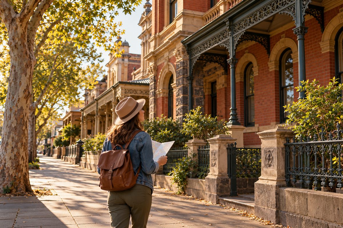
The best way to walk Werribee's heritage is to start at Werribee railway station, walk Watton Street with your eyes on the upper floors, and finish at the Werribee River, all in about 90 minutes. That order follows how the town grew. The railway came first, the shops and halls grew around it, and the river was the reason anyone settled here at all. This Werribee city centre heritage trail guide gives you that route, shows you how to read old buildings, and explains why a slow walk like this does real work for your brain and body.
In my experience, most people walk past heritage without seeing it. They look at shop signs and phones at eye level. The history sits one storey up.
Why should you start at the station instead of the main street?
Start at the station because the town grew outward from it. The Geelong line opened through Werribee in 1857, and from then on farm produce, people and mail moved through this spot. Shops followed the foot traffic.
When I tried walking the centre in the opposite direction, from the river to the station, the story felt jumbled. Starting at the platform fixes that. You walk the same path a farmer or a new arrival walked in the Victorian era, and the buildings appear in roughly the order they were needed.
It also makes the trip easy. Werribee sits about 32 km southwest of the Melbourne central business district, and trains on the Werribee line from Flinders Street take around 45 minutes. You step off the train and you are already at stop one.
What route should you follow?
Here is the route I use. It is flat, short and works at a slow pace.
- Werribee railway station. Stand on the street side and look at how the station area connects to the town grid. This is your anchor point.
- Walk toward Watton Street. Watch the change from car parks and new builds to older, narrower shopfronts. That change in lot width tells you where the old commercial strip begins.
- Watton Street, upper floors. Walk slowly and look up. Parapets, dates, painted names and old window shapes sit above modern awnings. Watton Street shares its name with Watton, Norfolk, a small English market town, and the two look alike in one way, both keep their old street pattern even where shopfronts have changed.
- Civic and church buildings. Halls, churches and former council buildings sit a little apart from the shops. They were built to last, so they hold more original detail.
- Chirnside Park and the river edge. Head down to the green space by the water. Pause here and read the river flats.
- The Watton Street crossing. Finish where the road meets the Werribee River. This crossing is the reason the main street runs where it does.
Before you go, search the Victorian Heritage Database online. It lists protected places by suburb, and you can check exact addresses on your phone as you walk. The City of Wyndham also keeps heritage studies that explain why each place matters locally.
How do you tell a real heritage building from a modern copy?
Look at the roofline, the upper windows and the side walls. Those three spots rarely get remodelled, so they show the true age of a building.
What I saw on my first few walks was that ground floors lie. A 120 year old shop can have a glass front from the 1990s. A new building can wear fake old trim. Here is the quick test I use.
- Check the parapet. Older shops often carry a raised wall at the top with a name, a date or simple moulding.
- Count the upper windows. Tall, narrow, evenly spaced windows usually point to an older build. Wide horizontal glass points to later decades.
- Walk round the side. Side walls show brick type, old painted signs and patched openings. Developers rarely bother to fake the side wall.
- Look at the lot width. Narrow lots in a row usually mean the land was split up early, before cars shaped the street.
What does heritage protection actually mean on this street?
Two layers of protection apply, and they do different jobs.
The Victorian Heritage Register is the state list. Heritage Victoria runs it under the Heritage Act 2017, and it covers places that matter to the whole state. Werribee Park Mansion sits on it. Owners need state approval for most changes.
The Heritage Overlay is a local planning control. The council applies it through the planning scheme, and it means an owner needs a permit to demolish, change the outside, or in some cases repaint. Most heritage places in a town centre sit under a Heritage Overlay, not the state register.
So what does that mean for you as a walker? If a building looks old and still stands, there is a good chance a Heritage Overlay kept it there. Those controls are the reason the upper floors you look at survived.
Why are the reused buildings the best stops on the trail?
Adaptive reuse buildings teach you more than perfectly restored ones, because you can see two eras at once. Adaptive reuse means giving an old building a new job, like turning a bank into a cafe or a hall into offices, while keeping its frame.
This is the view I hold that most heritage guides miss. They point you to the most polished building. I found that the most useful stops are the messy ones. A former bank with a cafe counter where the teller stood shows you how the street worked then and how it works now. Your brain compares the two, and comparison makes memories stronger than plain looking.
When you walk, play a simple game. At each older building, ask three questions.
- What was this built to do?
- What does it do now?
- What clue on the outside tells you both?
That last question forces you to look for real evidence, like a bricked up doorway, a vault style window or a faded painted sign.
How do the river and the farms fit into the town's story?
The town exists because of the Werribee River and the farmland it watered. Read the centre as a service hub for the farms around it and the whole layout makes sense.
Early wealth here came from sheep. The Chirnside family built Werribee Park Mansion between 1874 and 1877 on that money. Later, irrigation from the river turned land at Werribee South into market garden country, and it still grows vegetables for Melbourne. Market garden families shopped, banked and worshipped in the town centre, and many of the older shop buildings served them.
Stand at the river at the end of the walk and look at how low and flat the land is. In my experience, that view does more to explain Werribee than any plaque. Water, flat ground and a rail line close to the city made the town.
If you want more walking after the heritage loop, the Werribee River Trail runs along the water from the town area. Our separate river walking guide covers that trail section by section, so I will keep this guide to the centre.
Should you add Werribee Park and the zoo to the same day?
Yes, if you have a full day and a car or bus plan. Werribee Park and Werribee Open Range Zoo sit side by side a short drive south of the centre, and they complete the story the town walk starts.
The town shows you the shops and halls that served the district. Werribee Park shows you the wealth that drove it, a 60 room mansion and formal gardens. Pairing them gives you the full picture of a Victorian era farming district, from the big house to the main street.
Here is a day plan I would use.
- Morning. Do the town heritage loop. Morning light and quiet streets make the upper floors easier to see.
- Late morning. Travel to Werribee Park and walk the mansion and gardens.
- Afternoon. Spend a few hours at Werribee Open Range Zoo next door.
If you are in town on a weekend, catch a Werribee City FC game in the evening. Heritage is not only buildings. Local clubs show you where people in the City of Wyndham still gather, and that is the living side of a town's history.
What does a heritage walk do for your brain and body?
A slow heritage walk gives you three things at once, daylight, steps and focused attention. Each one has solid evidence behind it.
Cultural engagement and long life
A 2019 study in the BMJ followed over 6,000 older adults in England for 14 years. People who visited museums, galleries, heritage sites or similar events every few months had about a 31% lower risk of dying during the study than people who never did, even after the researchers adjusted for wealth, health and other factors. That does not prove the visits caused the benefit. It does tell us that people who keep going to cultural places tend to stay healthier, and cultural tourism close to home is the cheapest way to make it a habit.
Steps
A 2022 analysis in The Lancet Public Health pooled data from 15 studies and close to 50,000 adults. The risk of death dropped as daily steps rose, levelling off around 6,000 to 8,000 steps for people over 60 and 8,000 to 10,000 for younger adults. A 90 minute heritage loop with pauses gets most people 5,000 to 7,000 steps. So one walk covers a big share of a useful day.
Attention and mood
A 2015 Stanford study found that a 90 minute walk in a natural area reduced rumination, the habit of looping on negative thoughts, and quieted activity in a brain region linked to it. An urban walk beside traffic did not. That is why I end this trail at the river. You get the focused looking of the town, then green space and water to finish.
When I tried this route with my phone in my pocket the whole time, I noticed far more detail than when I kept checking it. Looking for clues on buildings is a form of directed attention. You train your eyes to search on purpose, and that skill carries over to work and study.
How do you make the walk stick in your memory?
Use the route as a memory drill. Pick five stops, attach one fact to each, then recall them in order later that day.
This works because your brain links memories to places. Memory athletes have used this method for centuries, and brain imaging studies show it relies on the same navigation systems you use to find your way home. A real walk gives you a ready made map.
- Choose five stops. Station, a Watton Street parapet, a civic building, a reused building, the river.
- Attach one fact each. For example, the line opened in 1857, or the parapet date you found.
- Recall that night. Close your eyes and walk the route in your head. Say each fact out loud.
- Recall again in a week. Spaced recall locks it in far better than one long session.
I found that people who do this once can describe the town centre in detail weeks later. People who just stroll through remember a coffee and not much else.
What should you bring, and when should you go?
Go early on a weekday morning with water, comfortable shoes and your phone ready for the heritage database. That is all you need.
- Timing. Early morning gives you quiet streets, soft light on the upper floors and a dose of daylight that helps set your body clock. Avoid the middle of a hot summer day, as there is little shade on the main street.
- Pace. Plan 90 minutes for about 3 km. Stop often. The pauses are where you learn.
- Gear. Water, sun protection and a small notebook or notes app for your five memory facts.
- Phone use. Open the Victorian Heritage Database before you start, then keep the phone away unless you need to check an address.
- Respect. Many heritage buildings are private homes or working businesses. Look from the footpath and do not walk onto private land.
Do the loop once with this plan. Then do it again a month later and see how much more you notice. That second walk is where the town really opens up.